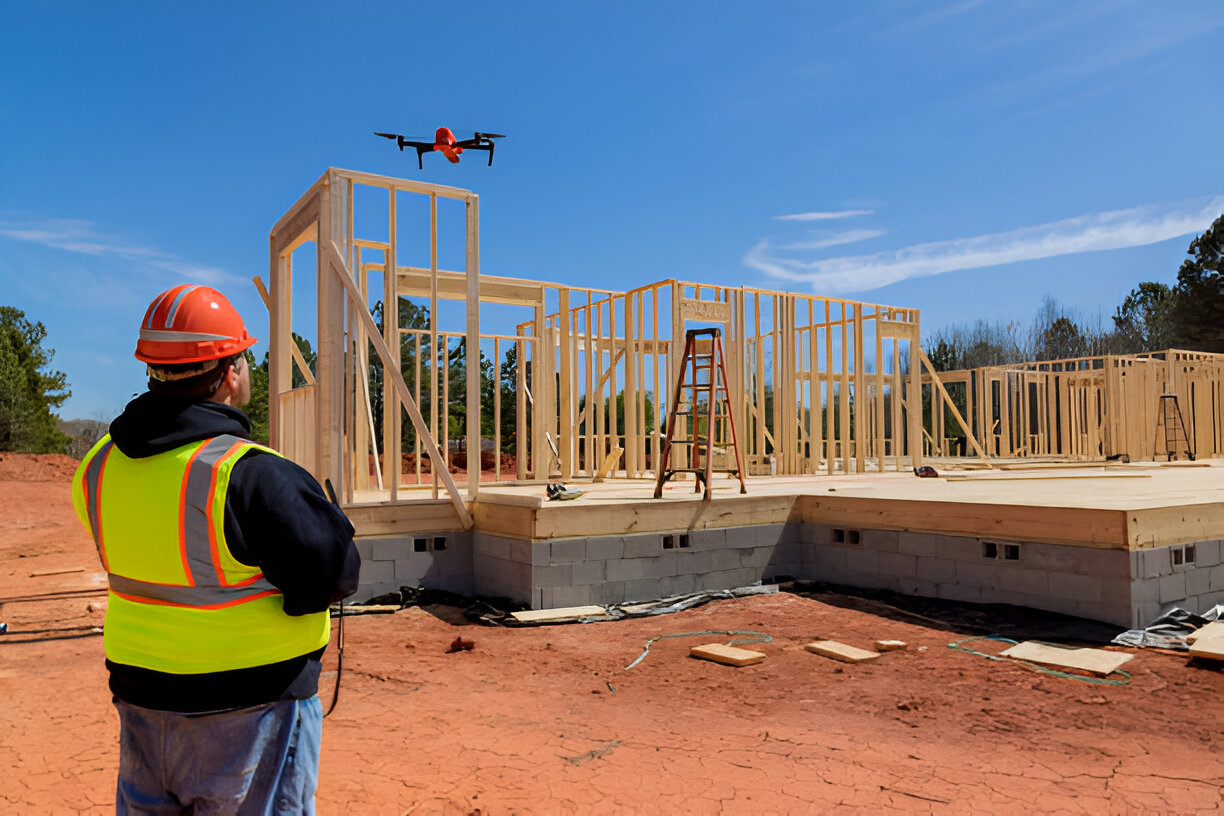
Stay on schedule with consistent aerial updates that give your team clear visibility into site progress. We provide high-resolution imagery and mapping data to help track changes, document milestones, and keep stakeholders informed—without extra site visits
Reduce site visits. Improve visibility. Keep projects moving.
Aerial Progress Documentation
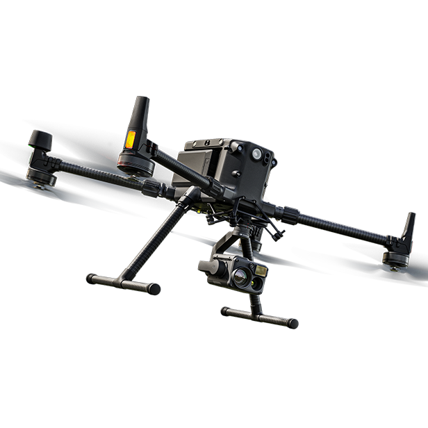
High-resolution imagery, orthomosaics, and point clouds aligned to your project coordinate system and existing GCPs for consistent, repeatable site data.
Recurring Project Updates
Recurring data capture tied to the same control and coordinate system—enabling accurate comparisons over time and clearer progress tracking.
Data Delivery
Clean, organized delivery of imagery, orthomosaics, and point clouds aligned to your project coordinate system—making it easy for your team to review, share, and use the data.