Discover the advanced technologies that make our drones smarter, faster, and more efficient for every mission.
Smart Flight Control
Fly safer with intelligent navigation and obstacle avoidance.
Ultra HD Camera
Capture sharp, stabilized 4K aerial footage with precision.
Real-Time Data Transmission
Instantly stream visuals and data during every flight.
Modular Payload System
Easily switching between cinematic, thermal, and LIDAR for custom drone applications.
Thermal Imaging Technology
Smart Thermal Drone Inspections
Utilize advanced thermal drone inspections to detect heat anomalies, moisture issues, and insulation gaps ensuring efficient, safe, and cost-effective building maintenance solutions.
Construction Progress Monitoring
With high-precision aerial imaging, we track progress over time, allowing you to compare phases of a project, measure stockpiles, and identify issues promptly
Thermal Inspection
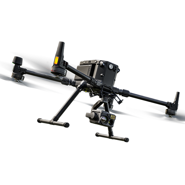
With the Zenmuse H20T's thermal sensor, we can perform specialized infrared surveys - helpful for identifying rooftop issues, energy inefficiencies, or electrical abnormalities - adding depth to your asset knowledge when you need it.
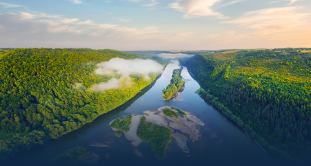
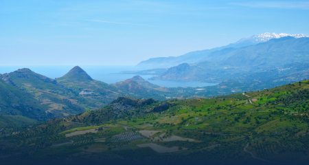
Aerial Mapping & Surveys
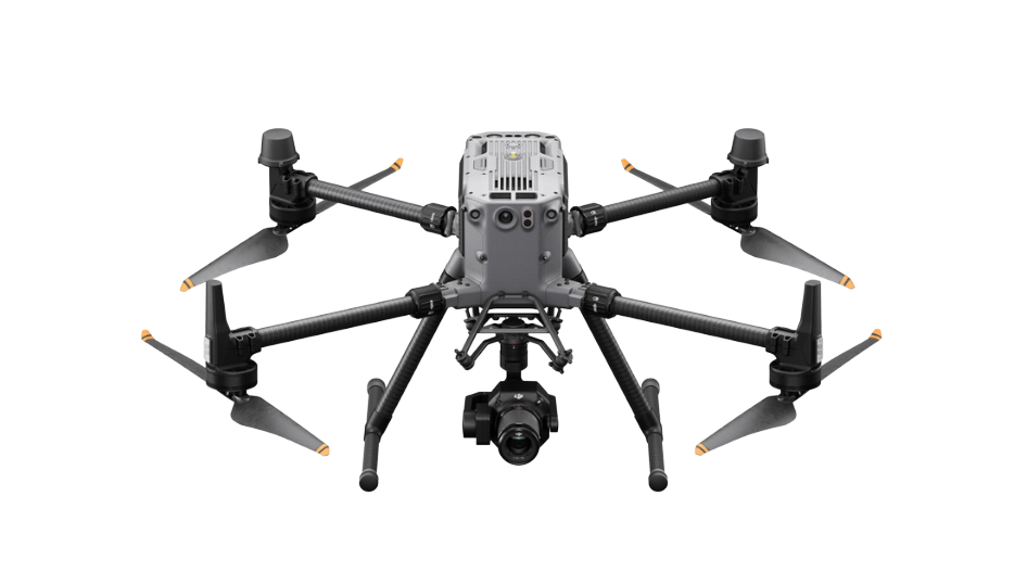
Utilizing DJI Matrcie 350 RTK with Zenmuse P1 and L2, we produce high-resolution orthomosaics, 3D models, and point clouds - perfect for land surveys, volumetrics, and asset management.
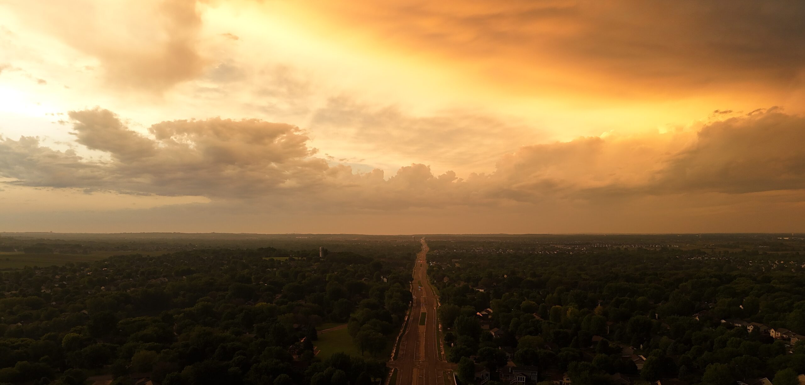
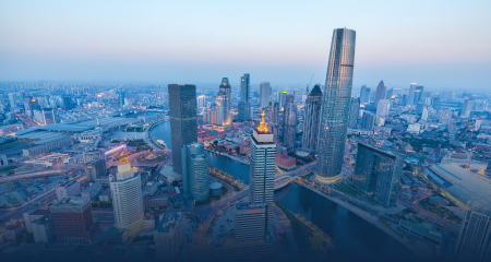
Aerial Photography & Videography
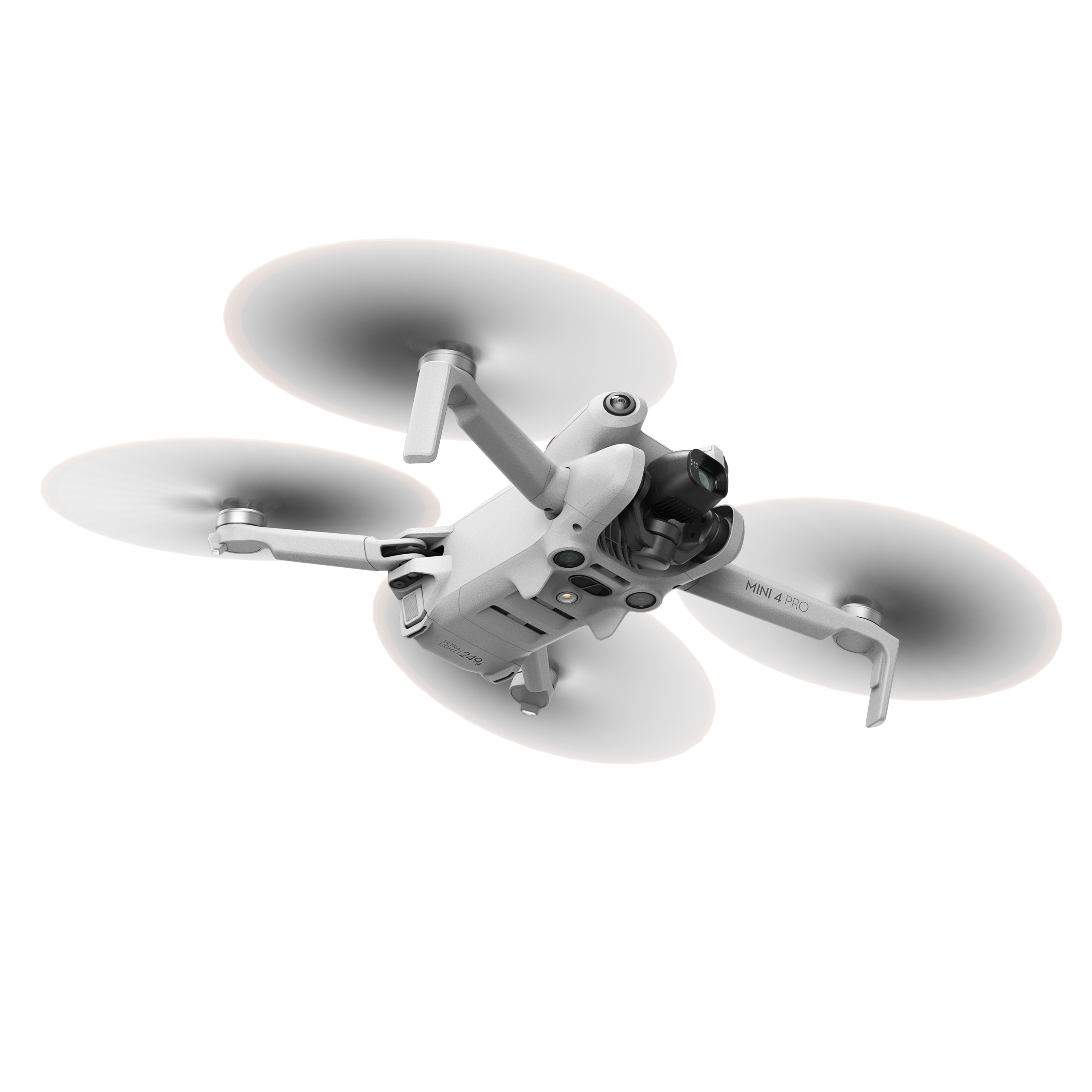
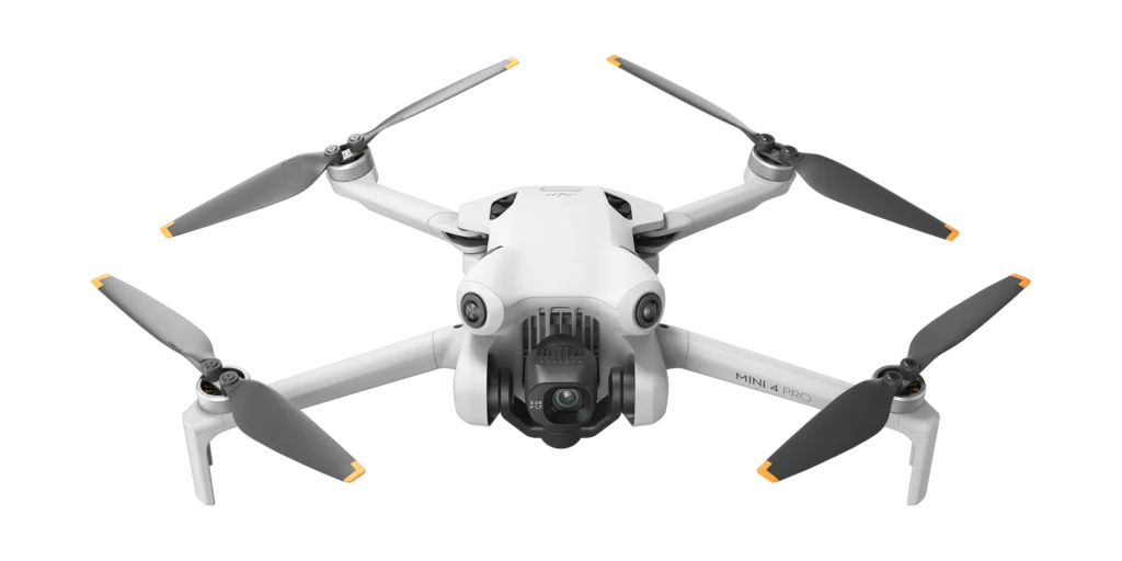
Using the lightweight DJI Mini Pro 4, we capture stunning aerial photos and cinematic video - ideal for marketing, progress reports, and stakeholder presentations.
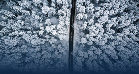
Our Gallery
Unforgettable Memories with DEXFLY
Lorem ipsum dolor sit amet, consectetur adipiscing elit, sed do eiusmod tempor incididunt ut labore et dolore magna aliqua. Ut enim ad minim veniam, quis nostrud exercitation.
Lorem ipsum dolor sit amet, consectetur adipiscing elit, sed do eiusmod tempor incididunt ut labore et dolore magna aliqua. Ut enim ad minim veniam, quis nostrud exercitation.